Satelligence: Satellite data and AI helping corporate giants source commodities more sustainably
- Netherlands
- 6 min read
- Dec 11, 2020
- By Gareth Gardiner Jones

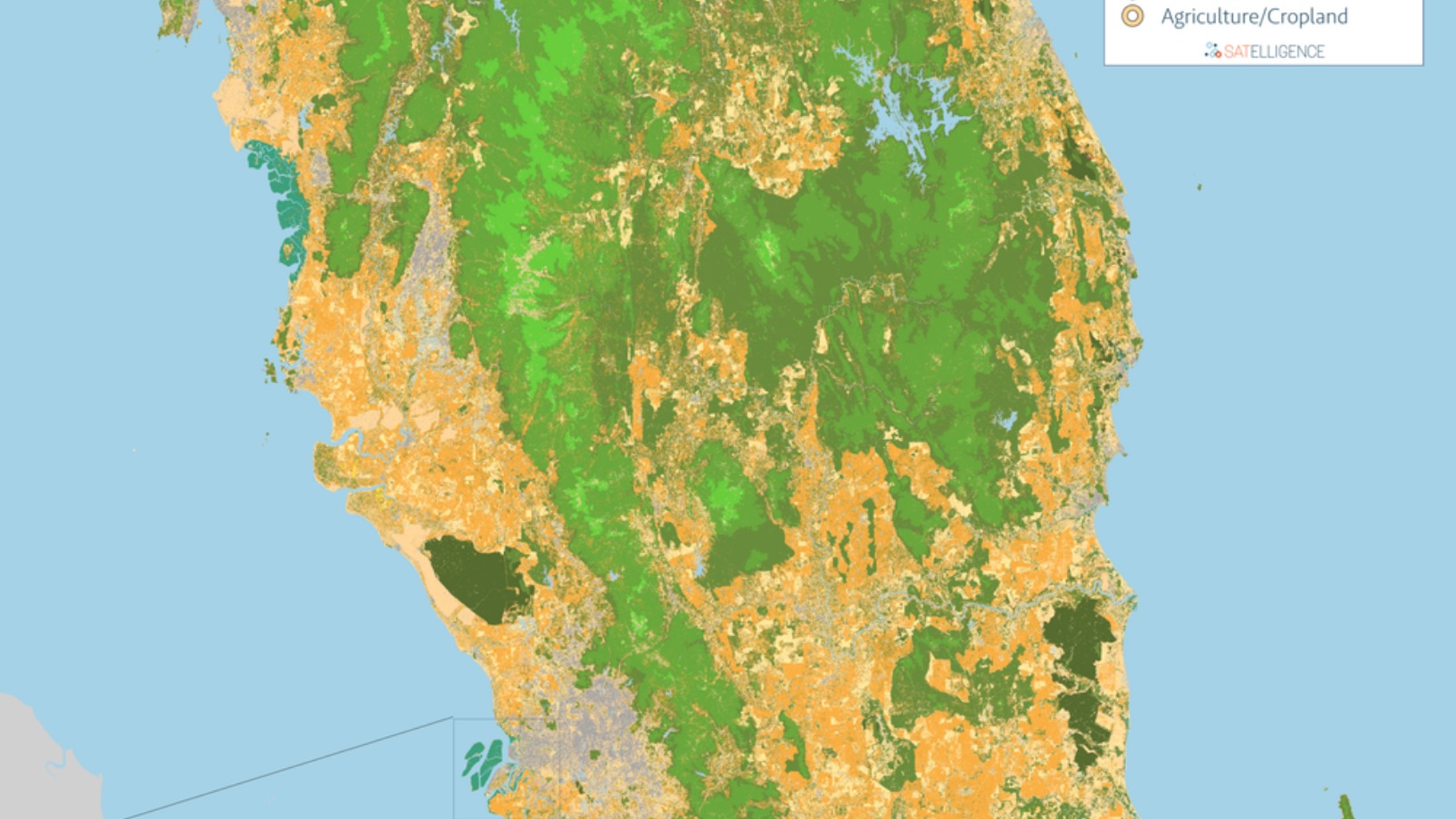
© Satelligence
Satelligence monitors environmental risks across 6bn hectares of mostly tropical forest for high-profile clients such as Pepsico, Nestlé and Unilever
As early as 2016, GIS expert and lifetime environmentalist Niels Wielaard founded Satelligence to warn corporates of environmental risks and opportunities along their supply chains, from farms and plantation concessions to mills and silos. The company combines satellite imagery, AI and machine learning to deliver a precise tool for assessing deforestation, forest fires and other forms of ecosystem degradation at the source of consumer supply chains.
Accurately tracking cultivations of the most in-demand foodstuffs known to provoke deforestation, palm oil, soy and cocoa, Satelli...
Accurately tracking cultivations of the most in-demand foodstuffs known to provoke deforestation, palm oil, soy and cocoa, Satelli...
The rest of the content is only available if you are logged in.
We pride ourselves on the accuracy of our information and reporting. Please help us by letting us know of any incomplete or inaccurate information on our website.
IN THIS INSIGHT
MOST VIEWED
RECOMMENDED


