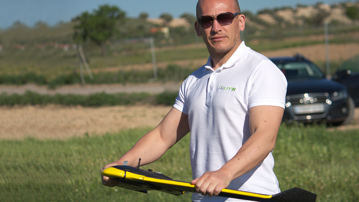
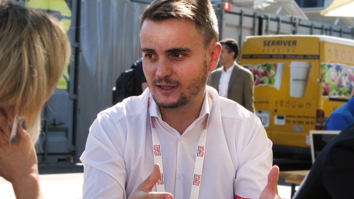
It was never his intention to enter the “already very crowded marketplace of drones as a manufacturer,” Julio Díaz Hernández, CEO of Unmanned Technology Services (UTW), said.
But the UTW team came up with a "unique technology" to derive predictive data from a fusion of information obtained from drones, satellite images and sensors, he told CompassList at Malaga's recent Smart Agrifood Summit.
“We spent years in research and know how much added value can be obtained from the information collected by satellites, drones and sensors. The question is how to translate and interpret all that into what's happening on the ground in the countryside in the form of data,” Díaz said.
"I'm pretty sure we're the only ones using all three in combination to arrive at our end goal: to give valuable information and save valuable resources.”
The agtech sector, seen to be worth over US$15bn globally by 2025, offers the greatest growth opportunities for UTW's predictive data analytics. Agricultural surveys have huge potential, but the lack of technological uptake to date also makes the sector the most challenging market to penetrate.
“There's still no major use of drones in agriculture. In Spain, not even 1% of farmers use them yet,” Díaz, who also co-founded UTW, pointed out. “So, despite all the evidence you can provide, it's hard to explain the benefits of aerial surveys to the end-users; especially when the bulk of potential customers are 50- to 70-year-old farmers.”
UTW's two other revenue streams stem from routine services for technical inspections and topological studies for civil engineering projects. Both markets are pretty saturated, with a high level of competition compared with the relatively untapped but more challenging agricultural sector.
Drones for data insights
Engineers from Madrid's Polytechnic University, Díaz and co-founder Jesus Cano met while working at Spanish aeronautical manufacturer ITD. They spotted a business opportunity in 2014 when new regulations opened up public spaces to private drone operators. They started developing the UTW venture whilst still at ITD. In 2015, Diaz left his full-time job to launch UTW at Carlos III University in Madrid, with €150,000 in capital from the co-founders.
Díaz and Cano, the company's CTO, largely developed their civil engineering and technical inspection products alone. They later employed two technical staff with knowledge of data applications in agricultural systems to develop UTW's agricultural services. The goal was to use the company's existing technology as “a tool to develop our own unique value proposition,” Díaz said. In 2018, UTW joined the European Space Agency's incubation program at its Madrid chapter based at Carlos III University.
To create its native technology, UTW uses the most suitable drones in the marketplace for each type of business, together with satellite imagery from ESA. Special cameras with thermographic, multispectral and RGB sensor capabilities are also used to capture images that are invisible to the human eye. In addition, temperature and humidity sensors from external manufacturers are also used for the agricultural data services.
So far, UTW has received total funding of €300,000 from the governmental science investor Center for the Development of Industrial Technology (CDTI) and the European Commission's Horizon2020 innovation support program. It also received technical assistance from IMIDRA, the Madrid Institute of Rural, Agrarian and Food Research and Investigation.
Land surveys, technical inspections
Meanwhile UTW has secured other revenue streams, including contracts with CT Engineering Group and Ferchau Engineering. “Civil engineering is highly competitive with high use of drone technology already. Even so, we've done well here with our direct contacts and those from ESA,” said Díaz. The earlier use of gliders in civil engineering surveys meant that drone technology was quickly adopted early on.
For civil engineering projects, UTW photographs the area for land surveys using drones with precision location or real-time kinematic technology and high-resolution cameras. Such images are used for topographical studies and save time and resources. Images can be photogrammetric to allow measurements between objects. They can also be used to calculate the volumes of earth and their movements. UTW also has the technology for viewing land surface below vegetation and construction sites, as well as show flood-basins and relief.
The technical inspections market is also highly competitive and dominated by drone camera technology provided by companies like DJI and Sensefly. Nevertheless, UTW has carved a niche for itself with major clients like Spanish electric giant Iberdrola and BASF's Spanish operations. The highly specialized cameras can be attached to the drones for inspections of various types of installations, ranging from solar plants to dams, and to plot heat efficiency using thermographic images.
For both technical inspections and civil engineering surveys, the results extrapolated are purely image-based, using orthographic and radiographic projections that are interpreted by UTW. Prices are quoted on a per-project basis and the reports are completed within two days.
Untapped agricultural markets
According to Díaz, it's in agriculture that UTW really adds value through its ML-powered data services. The main benefit is simply to record what's happening in each season of the year. Until now, this recording process has relied mainly on the farmer's memory, as well as information collated from routine agricultural tasks such monitoring water levels and scheduling dates for fertilizing of various land plots of land.
The company sells its basic agricultural package as an annual service. Each report compiled during the year takes three to five days to complete. The digital land mapping includes the relief of the terrain, counting crops and sowing density. The report also covers plans for pruning and locating weeds. The intermediate package provides multi-season analysis, the plotting of fertilizer use, variants in the thickness of foliage and, crucially, an estimation of production levels.
The premium service includes insights using additional information from sensors like hydraulic stress maps. Premium clients also get recommendations for weekly watering schedules and how to create optimum soil conditions for specific crops. Water and fertilizer usage levels are also measured and plotted to optimize yields and produce significant savings.
Highly specialized drone cameras can be used to capture images of specific areas of cultivated land. Satellite imagery is also used to supply historical data on land use, while sensors like Duet T are used to provide humidity and temperature readings.
“Depending on the topography, we can map or digitize 400–600 hectares per day, more than sufficient for the size of average farm plots in Spain,” Díaz said. UTW charges €30–80 per hectare depending on the services required.
UTW has developed algorithms that allow the less accurate satellite data to be refined with supplementary drone information to reduce the number of drone flights needed each year. The company is also incorporating data sharpening technology to fill in the gaps between the drone and satellite information to increase the definition of these images. Neural ML algorithms are used to extrapolate the data, including making crop yield predictions, from the drone and satellite images and sensor readings. Such data services will help farmers to accurately plot the cultivation, and hence the monetization, of the terrain.
Plumping for olives
UTW's algorithms are based on the existing relationship between the crop's vegetative density, or Normalized Difference Vegetation Index (NDVI) and the volume of production. A regressive model is applied to data from previous studies linking the NDVI with the production of different crops. Each crop has certain characteristics that also depend on other variables, such as watering levels and latitudes for meteorology, that are enriched by new data derived from each new analysis conducted.
"Therefore, we have very precise models for traditional, intensive and super-intensive olive cultivation. The advantage of using ML technology is that the more analyses we conduct, the more precise the data," Díaz explained.
“Crop science is complex. With us coming from an industry like aerospace, our main error was that we thought we could offer a generic agricultural service upfront, but we soon learned that we have to offer services tailored to specific terrains or crops,” Díaz added.
Future business growth lies in the intensive and super-intensive olive oil production sectors. Accurate agricultural assessments require specialization and in-depth analysis. “We want to follow the olive oil path because there's a huge variety of different behaviors in these cultivations and we want to be recognized in this field,” he said. UTW already has customers like Innoliva in Spain, and sees a highly scalable sector allowing easy expansion to other olive-producing nations like Italy, Greece and Tunisia.
Many farmers use inaccurate mathematical calculations to estimate crop yields. “We currently work like a traditional agricultural analyst, starting with a didactic session to identify the needs of the terrain and how it was exploited previously. Then, we look at how to boost productivity, the client's main demand,” he said.
At present, the company does not yet have a dedicated platform for customers, even though UTW has over 50 customers and has completed more than 450 projects. UTW is currently selling its services through intermediaries, like machinery manufacturers and certification companies, to increase the adoption of smart drones and data analytics by the end-users in the traditional agricultural industry.
The company is now seeking €350,000–400,000 to finance the migration of its technology into a cloud-based SaaS platform. This will help UTW to expand its customer base by automating the assessment process to allow any drone company, satellite or agricultural advisor to directly subscribe to a variety of UTW services online.
